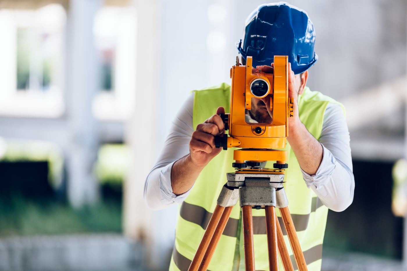
Land Surveyor
The surveyor (or topographer) is a specialized technical professional responsible for the measurement and representation of the territory and land, playing a fundamental role in construction and civil engineering. On construction sites, the surveyor provides precise data regarding the terrain and its morphology, enabling designers, engineers, and contractors to build according to accurate plans while respecting elevations and boundaries. They utilize advanced technological instruments to coll...
The surveyor (or topographer) is a specialized technical professional responsible for the measurement and representation of the territory and land, playing a fundamental role in construction and civil engineering. On construction sites, the surveyor provides precise data regarding the terrain and its morphology, enabling designers, engineers, and contractors to build according to accurate plans while respecting elevations and boundaries. They utilize advanced technological instruments to collect and analyze geographic information essential for the design phase, site layout, and structural monitoring.
Origin and History
Topography is an ancient discipline, used as far back as the Sumerian and Egyptian civilizations to measure land. With the evolution of civil engineering, the figure of the surveyor has formalized over time as a key element for the correct execution of projects.
Types
Within the construction field, a surveyor may specialize in:
- Plano-altimetric Survey: To define land elevations and contours.
- Cadastral Survey: To identify property boundaries and land registry data.
- Construction Surveying: To set out (layout) and monitor works during the building process.
Symbolism
The surveyor symbolizes precision and territorial knowledge: their ability to accurately measure the ground represents the "solid foundation" upon which the safety and quality of every construction rest.
Interesting Facts
- Today, surveyors use advanced technologies such as GPS (GNSS), total stations, 3D laser scanners, and drones for faster and more precise data collection.
- The gathered data is processed using GIS and CAD software to create detailed digital models of the site.
- The surveyor’s role is vital not only for buildings but also for infrastructure such as roads, bridges, and railways.